From the exhibition
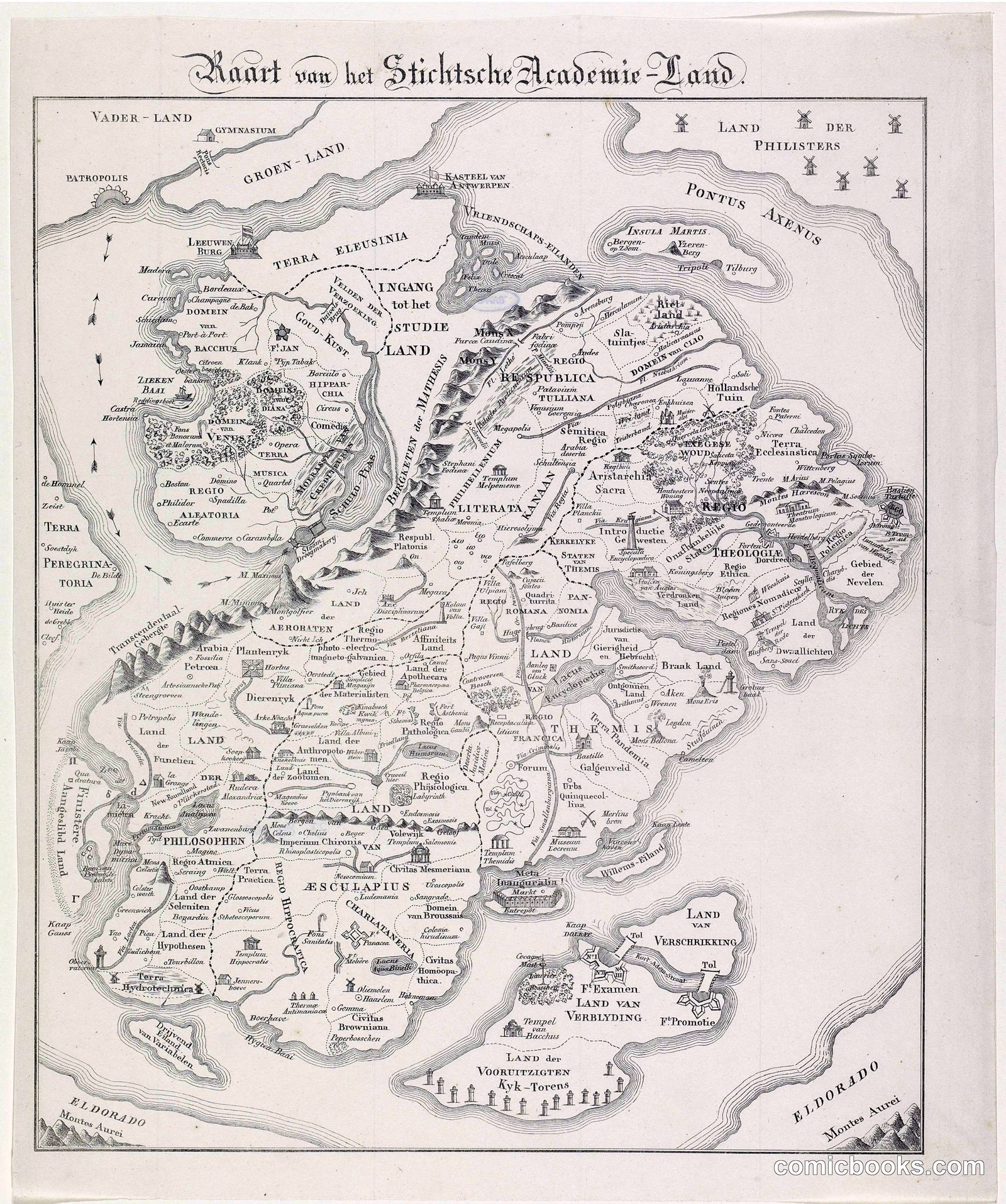
Kaart van het Stichtsche Academie Land
· 1834
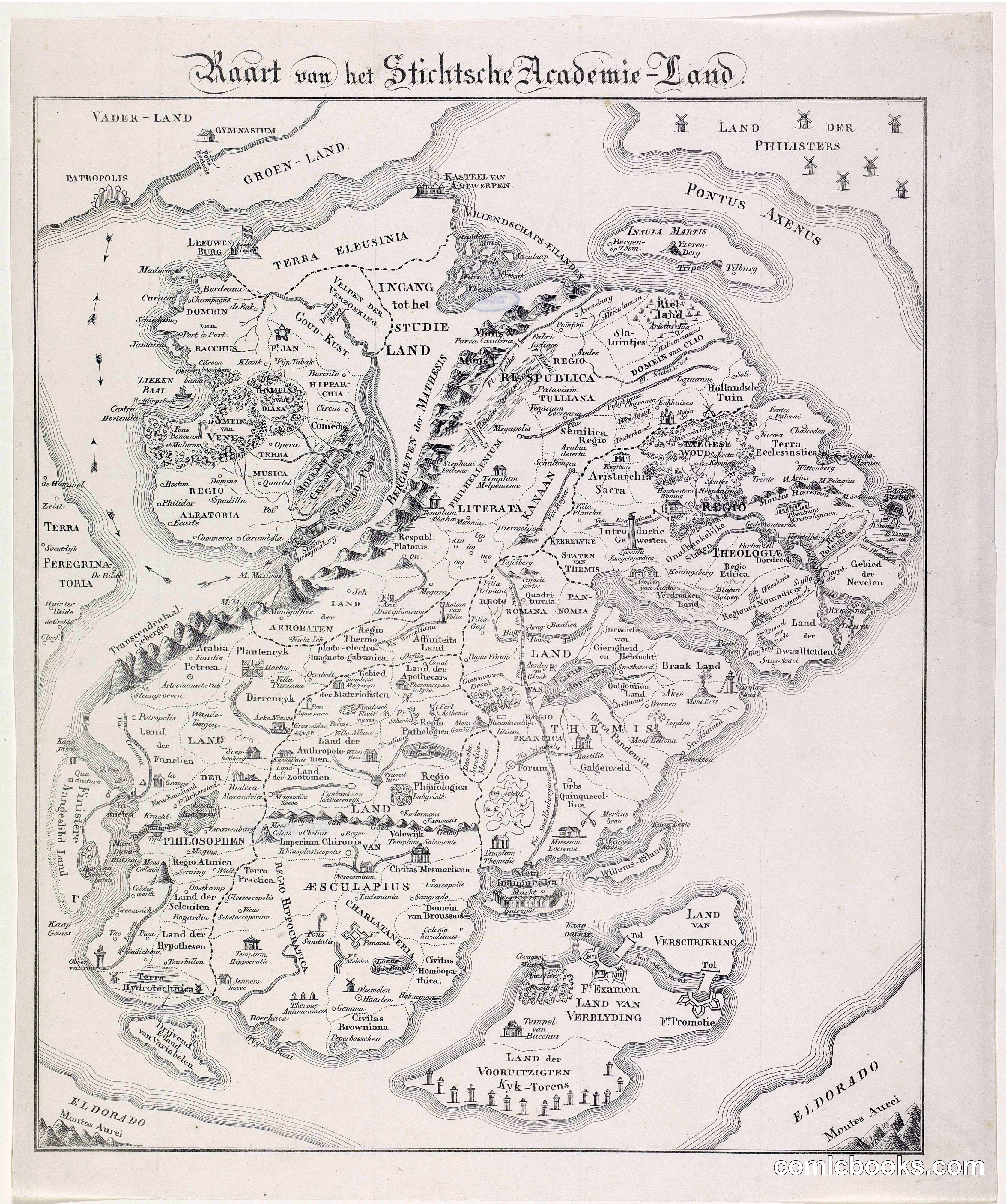
This engraved map satirizes the University of Utrecht and its student body by rendering the institution and surrounding region as a fantastical territory divided into provinces with fanciful names—'Studieland,' 'Philosophes,' 'Esculapius'—each labeled with colleges, taverns, and student haunts. The mock-cartographic format follows a Dutch tradition of academic humor, transforming campus life into mock-political geography. The precise engraving technique mimics authentic period maps, creating absurdist contrast between official cartographic authority and the chaos of student culture. This genre descends from 18th-century satirical prints and anticipates the comic exaggeration found in graphic storytelling, where visual distortion and typographic play construct alternative realities to critique or lampoon their subjects.
Public domain, restored and presented by comicbooks.com http://creativecommons.org/publicdomain/mark/1.0/