From the exhibition
Reys-Kaerte vande ambassade der Nederlantse Oost Indise Compagnie door China
Nieuhof, Jan · 1665
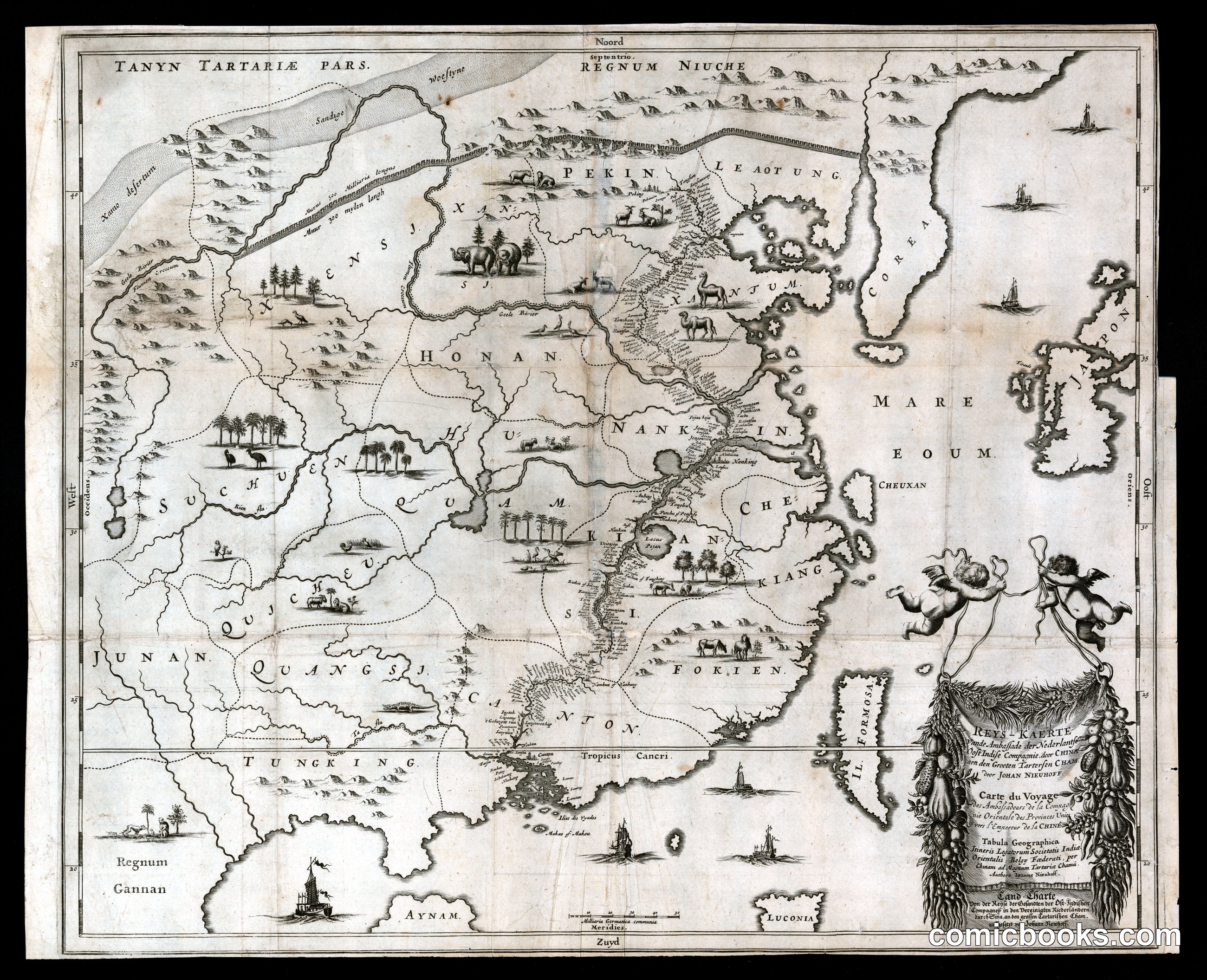
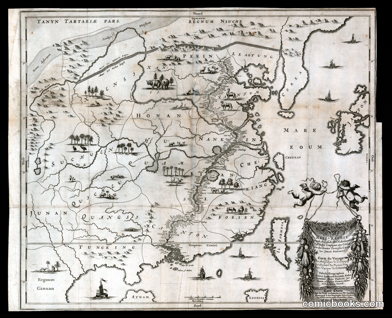
This copper-plate engraving, produced for Jan Nieuhof's account of the Dutch East India Company embassy to the Qing court, maps the Chinese interior from Canton north to Peking and Tartary. Provincial names — Honan, Nankin, Quangsi — are rendered in Dutch phonetics, while decorative vignettes scatter camels, deer, and sailing junks across the landscape in the pictorial convention of European cartouche-map illustration. A baroque cartouche framed by a cherub anchors the lower right. Though not satire, the sheet belongs to the Dutch Golden Age tradition of illustrated geography whose visual grammar — sequential vignettes, decorative figures animating flat space, text integrated with image — fed directly into the Bilderbogen picture-sheets and, ultimately, the comic strip's panel-and-caption logic.
Public domain, restored and presented by comicbooks.com http://creativecommons.org/publicdomain/mark/1.0/